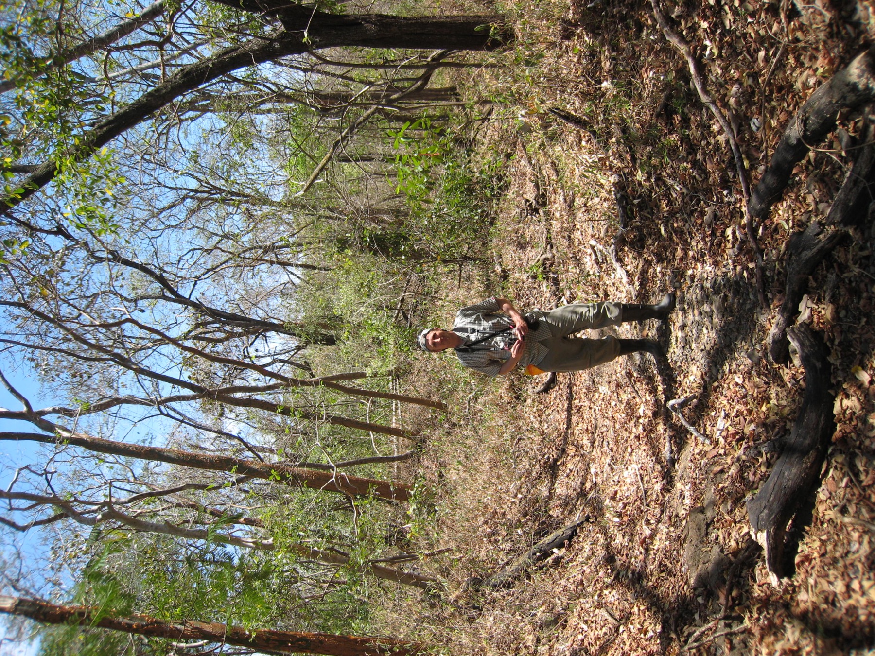
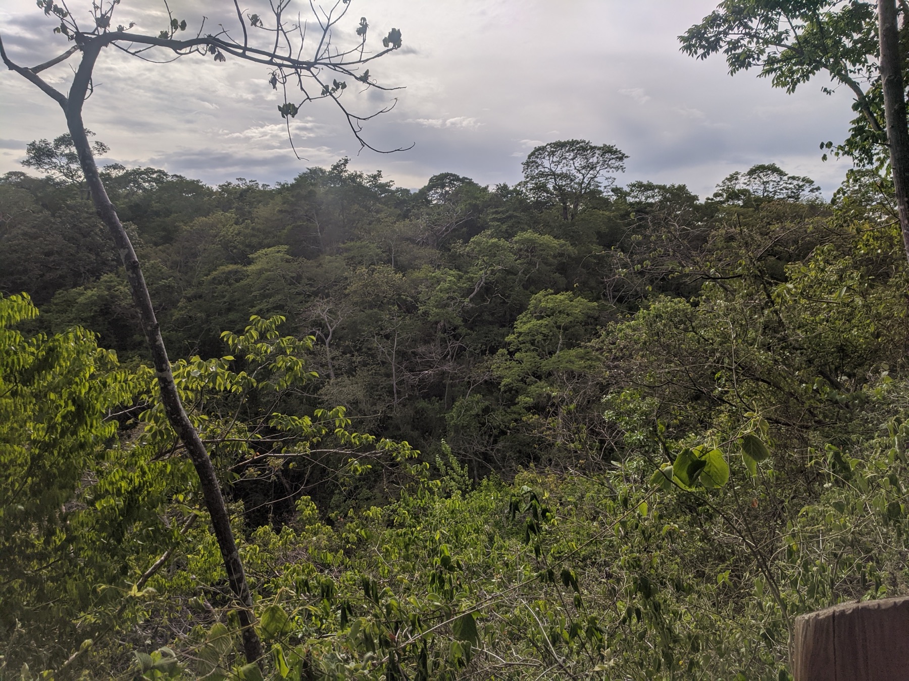
A broad view across the seasonal forest landscape at San Emilio

Sector Santa Rosa, Guanacaste, Costa Rica · Surveys since 1976

San Emilio
Forest Dynamics Plot

Four mapped woody-stem surveys span 1976–2021. During the 2019–21 ForestGEO census, all woody stems, including lianas, at least 1 cm in diameter were mapped across a reported 15.64 hectares.

View the research presentation
15.64 haForestGEO census area
240 × 680 mNominal dimensions
≈34,000ForestGEO “trees” metadata
176ForestGEO species metadata

Plot overview

Site setting and sampling record

The San Emilio Forest Dynamics Plot is in Sector Santa Rosa of Área de Conservación Guanacaste, Guanacaste Province, Costa Rica, at 10.839379° N, 85.613550° W. It is seasonally dry tropical forest with a wet season from June through December, a dry season from January through May, and approximately 1,500 mm of annual rainfall.

The plot includes ridge, slope, mesa-top, and valley-bottom habitats. The ForestGEO profile describes roughly one-third as approximately 100-year-old secondary forest on land formerly used for cattle grazing and banana cultivation, another third as likely 120–170 years old, and the remainder as intermediate in age. These are inferred relative age classes rather than exact establishment dates.

ForestGEO profile metadata report approximately 34,000 trees and 176 species. The profile does not define whether these totals include lianas, multiple stems, unidentified taxa, or only accepted tree species. The project presentation separately reports 36,465 stems at least 1 cm DBH and 145 species for the recent survey; the totals should not be treated as interchangeable until their counting and taxonomic definitions are reconciled.

ForestGEO lists a census area of 15.64 hectares and nominal dimensions of 240 × 680 m. A complete rectangle with those dimensions would cover 16.32 hectares, so the dimensions are presented here as approximate bounds rather than an area calculation. Earlier surveys covered a reported 14.4 hectares.

Source: ForestGEO San Emilio profile, accessed 31 July 2026.
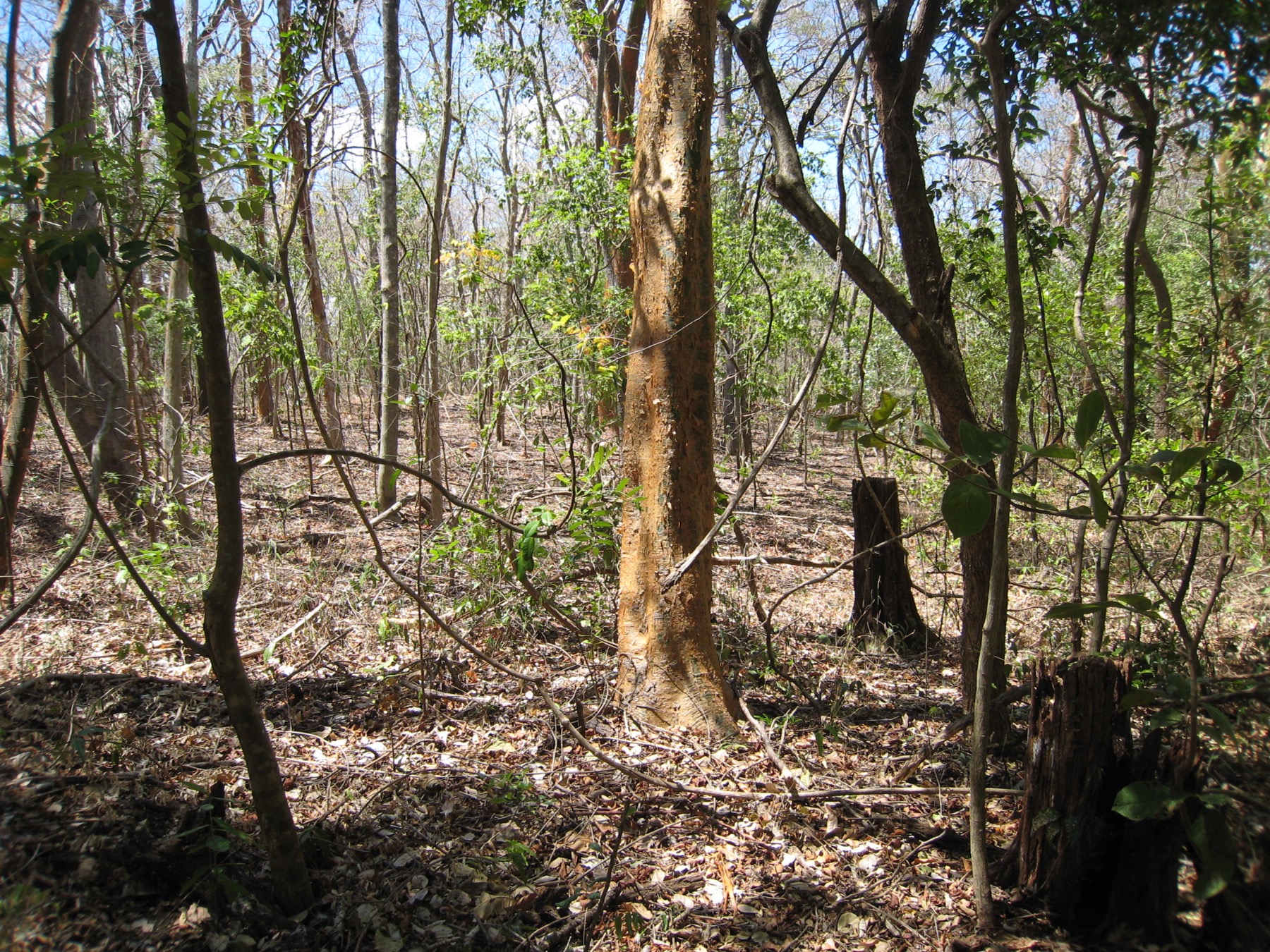
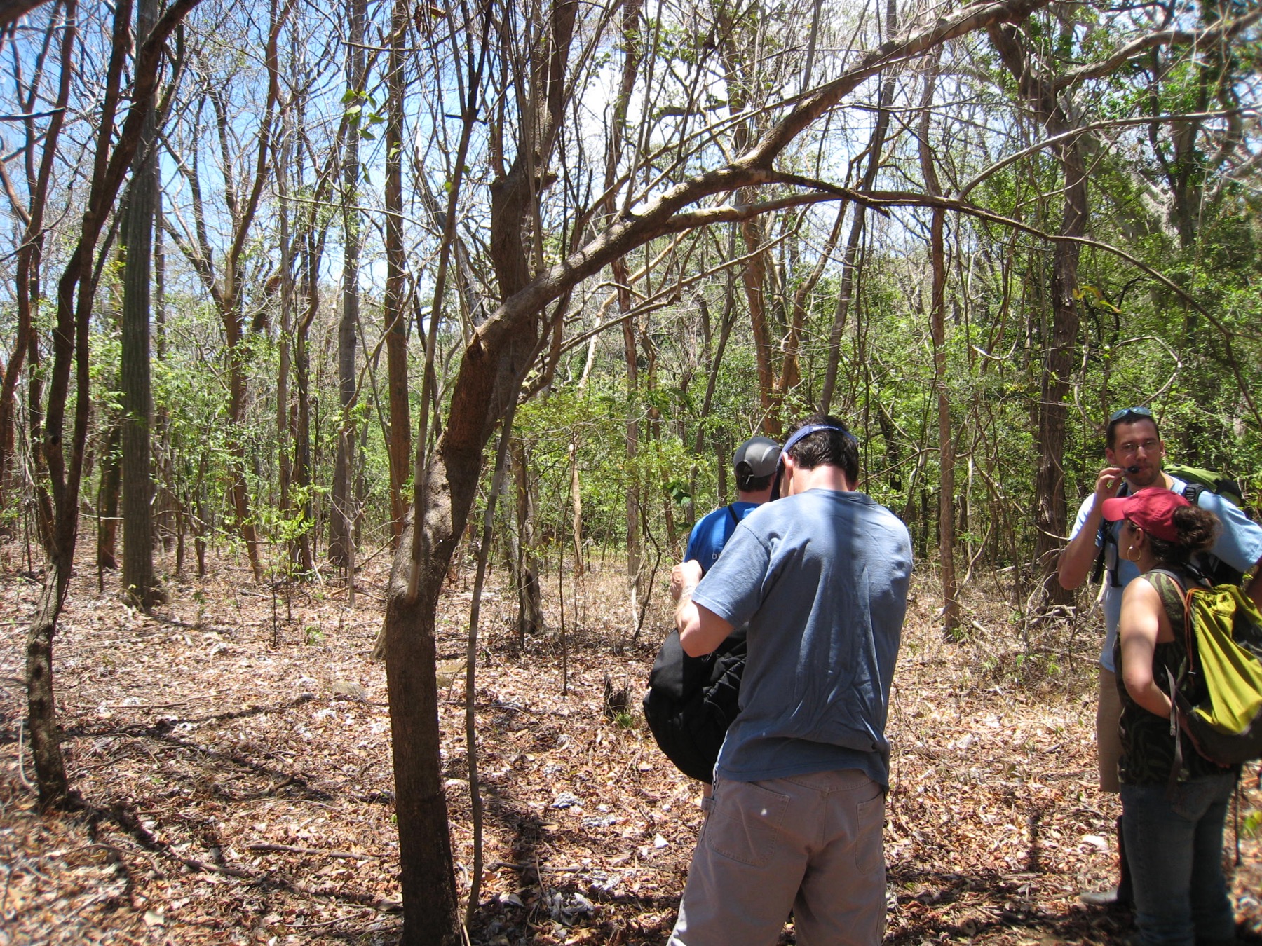
Researchers standing among mapped stems in the San Emilio forest
Field research within the long-term plot.

Survey history

Census methods and changing inclusion thresholds

  1. Initial mapped survey

    George Stevens and Stephen Hubbell censused 14.4 hectares, mapping and measuring all woody stems, including lianas, at least 3 cm DBH at 1.3 m. ForestGEO identifies this as the 1976 census.

  2. First recensus

    Brian Enquist led a recensus using the same 3 cm DBH threshold and a broadly comparable mapped-survey design. The original computer-card data were digitized in 1995 and quality checked by Stevens and Enquist.

  3. Second recensus

    Nathan Swenson led the third survey using the 3 cm DBH threshold. Mapping and tagging procedures were not identical across all survey years.

  4. ForestGEO census

    Adam Chmurzynski led a ForestGEO-protocol census of 15.64 hectares, mapping all woody stems, including lianas, at least 1 cm DBH.

The site has four mapped woody-stem surveys, but only the 2019–21 survey used the ForestGEO protocol. Earlier surveys used an overlapping historical design, a 3 cm threshold, and a smaller reported area.

Research presentation

Plot history, methods, and findings

The 46-slide presentation documents field methods, land-use history, census comparisons, remote-sensing analyses, and interpretation limits.

Download original presentation
Loading presentation…

01 / 46

Current slide transcript

Place

Location and regional context

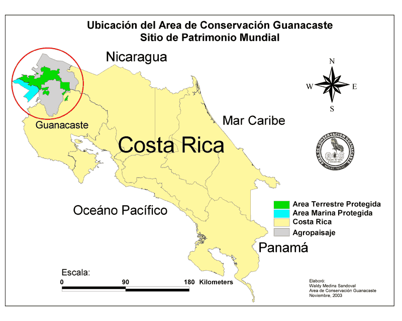
Costa Rica map locating Area de Conservacion Guanacaste
Área de Conservación Guanacaste in northwestern Costa Rica.
Area de Conservacion Guanacaste logo

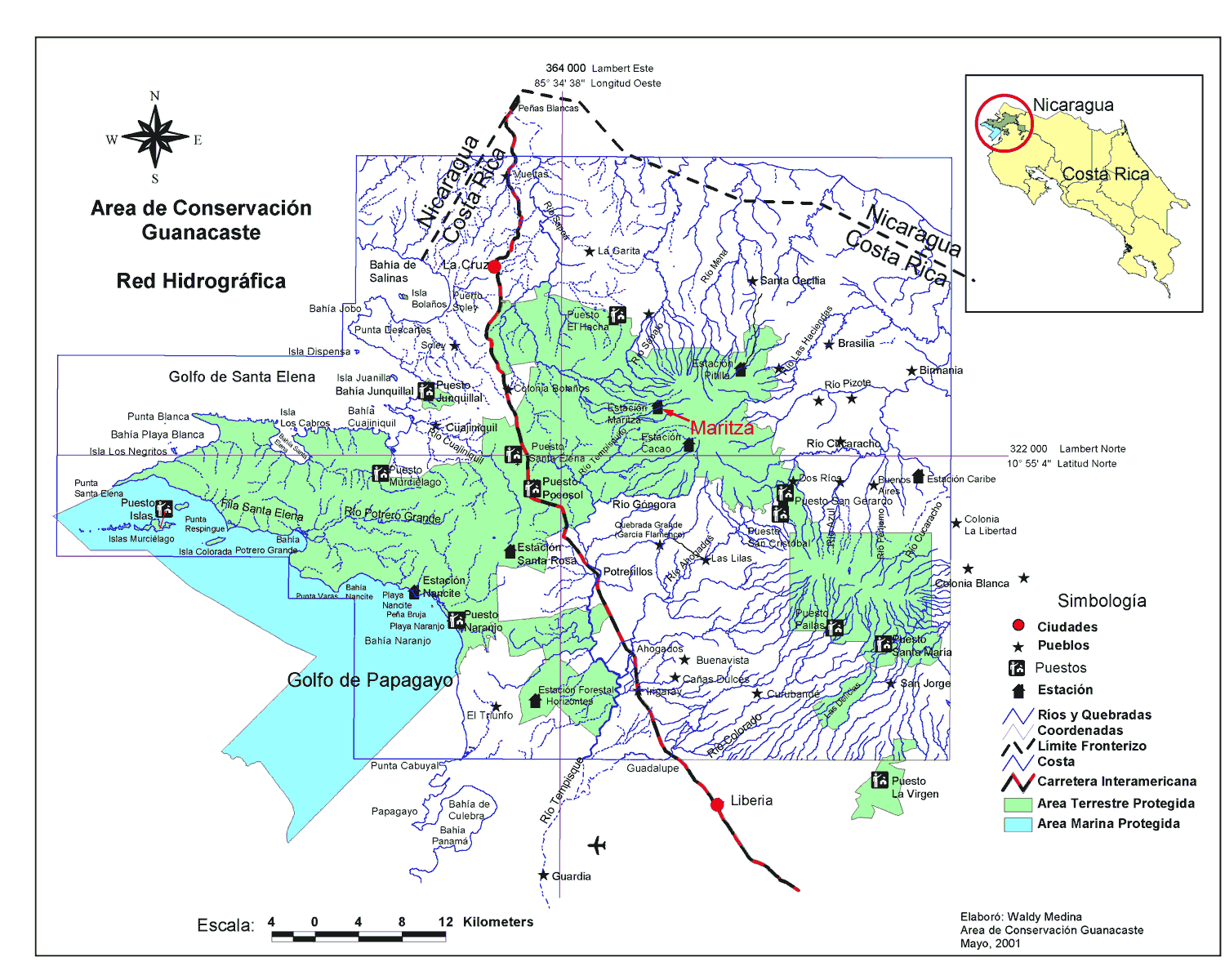
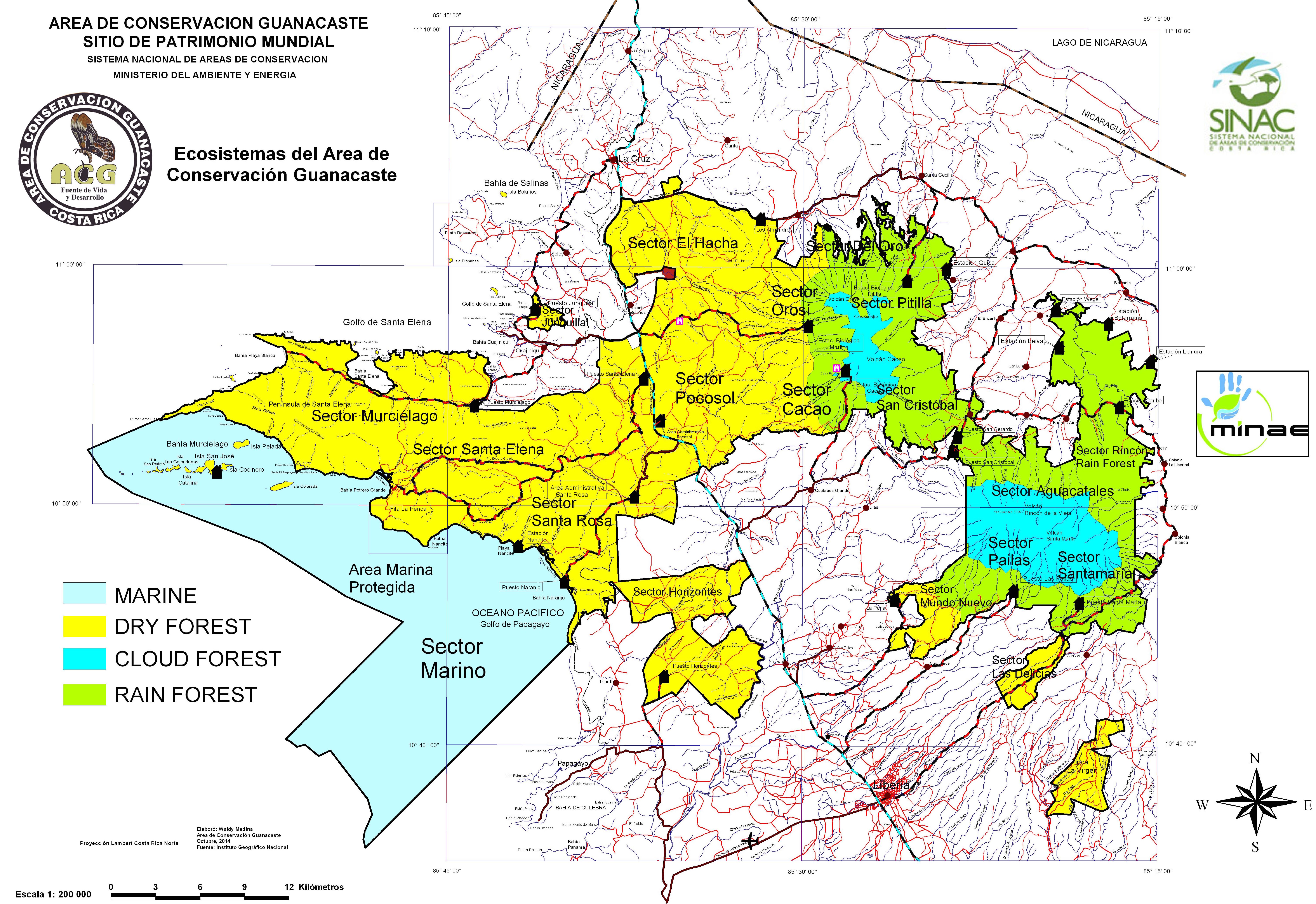
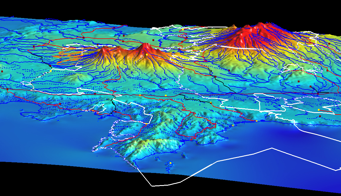
San Emilio is in Sector Santa Rosa within Área de Conservación Guanacaste. The plot contains a ridge, slopes, a mesa top, and a valley bottom; the regional maps below provide watershed, ecosystem-sector, and topographic context beyond the plot boundary.

ForestGEO plot profile ↗
Explore regional maps
ACG river network and stations
Hydrology and stations
Ecosystem sectors of ACG
Ecosystem sectors
Three-dimensional ACG terrain map
Terrain from the Pacific

Published analyses

Reported findings and interpretation limits

Filter summaries by each study's observation window. These observational studies evaluate compositional change, functional traits, and drought-related canopy responses; they do not identify a causal effect of drought or isolate a single driver.

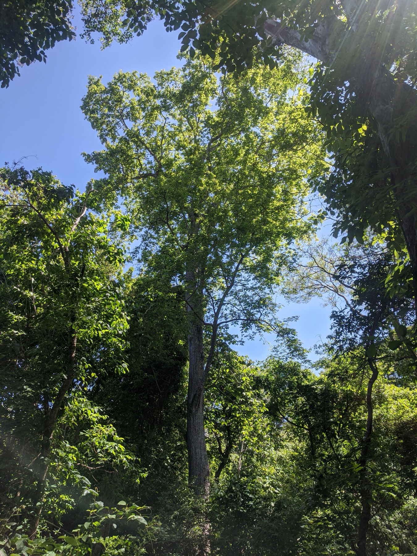
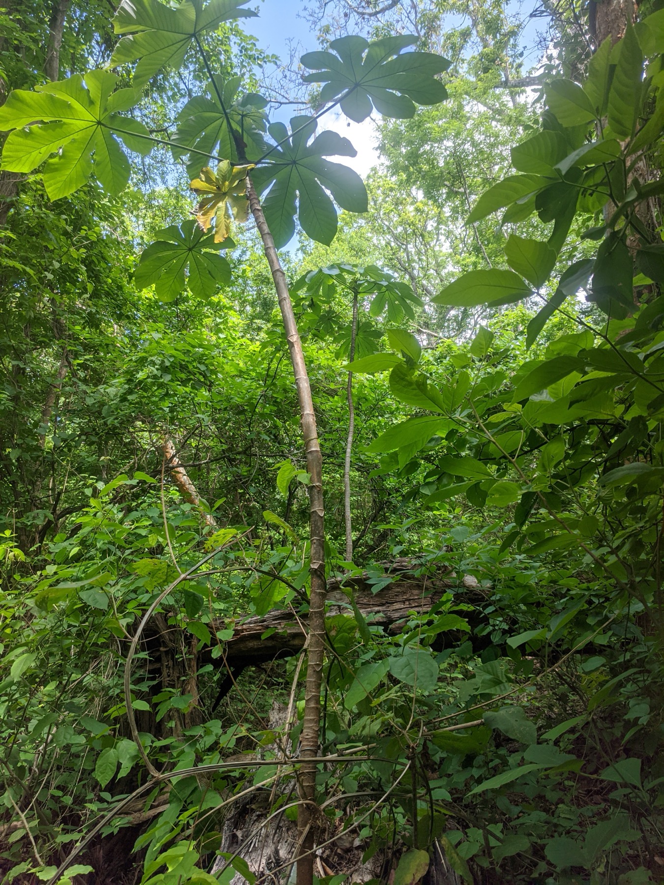
Looking upward through the San Emilio seasonal forest canopy

The plot includes ridge, slope, mesa-top, and valley-bottom habitats.

Evidence

Research from San Emilio

Site archive

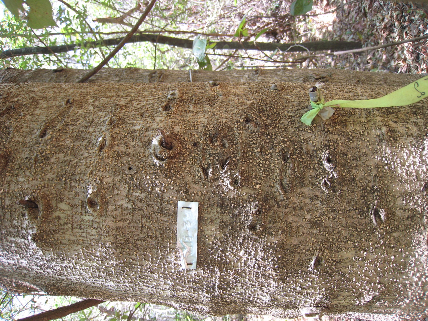
Field photographs

San Emilio forest landscape
San Emilio field team
Fieldwork in the San Emilio plot
Mapped forest stems and understory
Seasonal forest detail
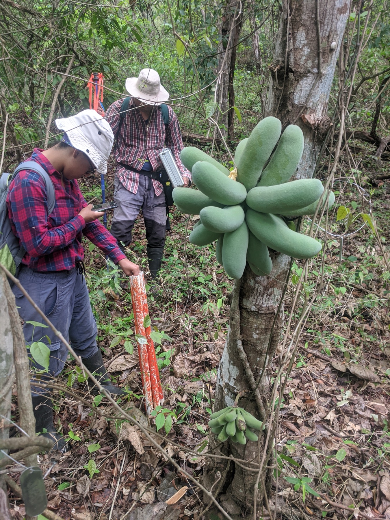
Field researchers recording observations beside a fruiting tree
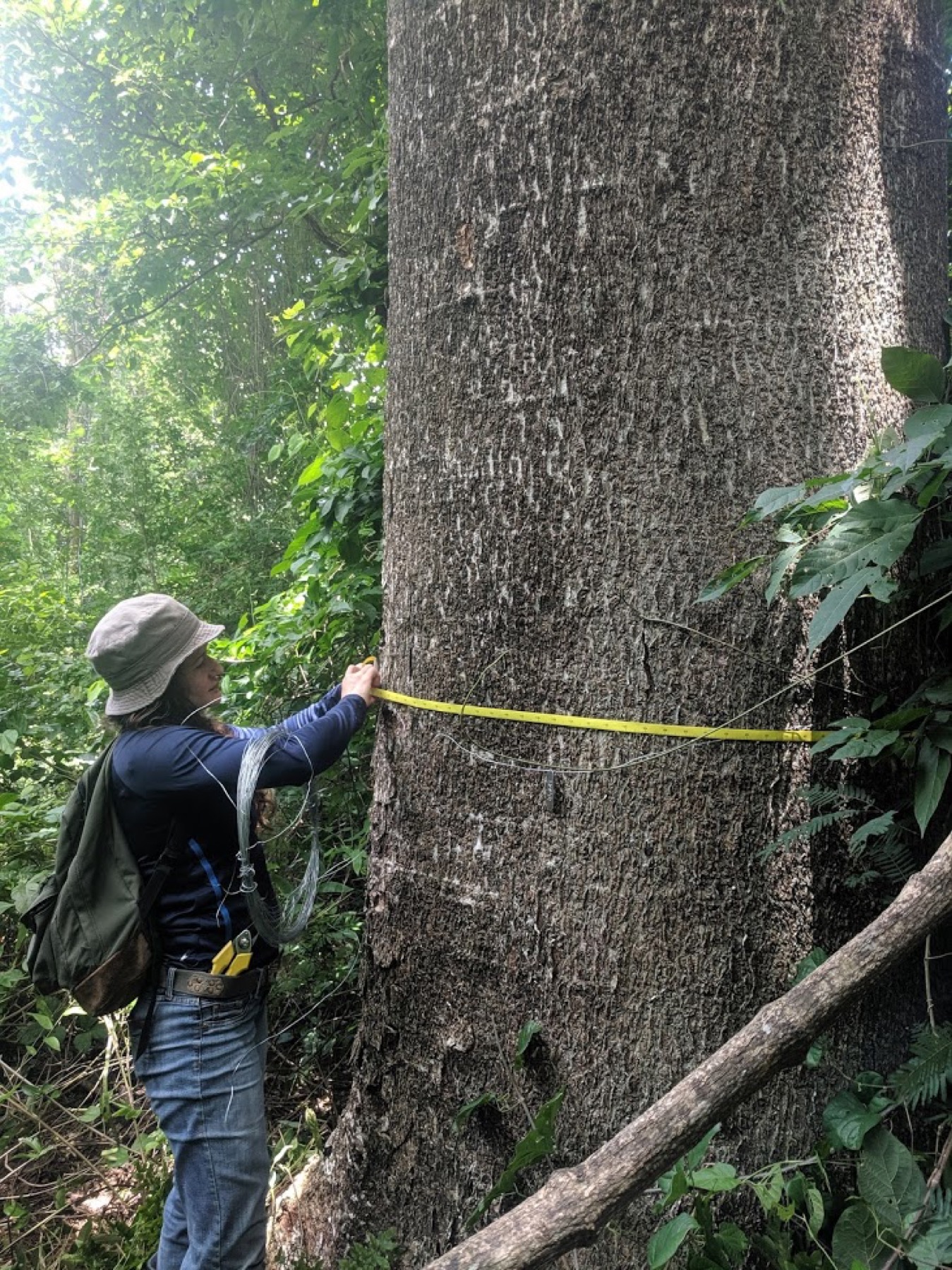
Researcher measuring the circumference of a large tree
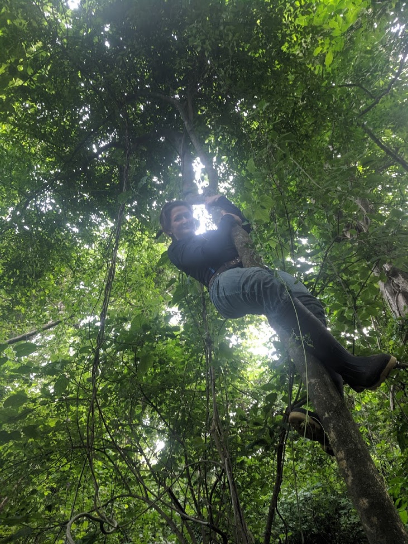
Researcher working above the forest understory
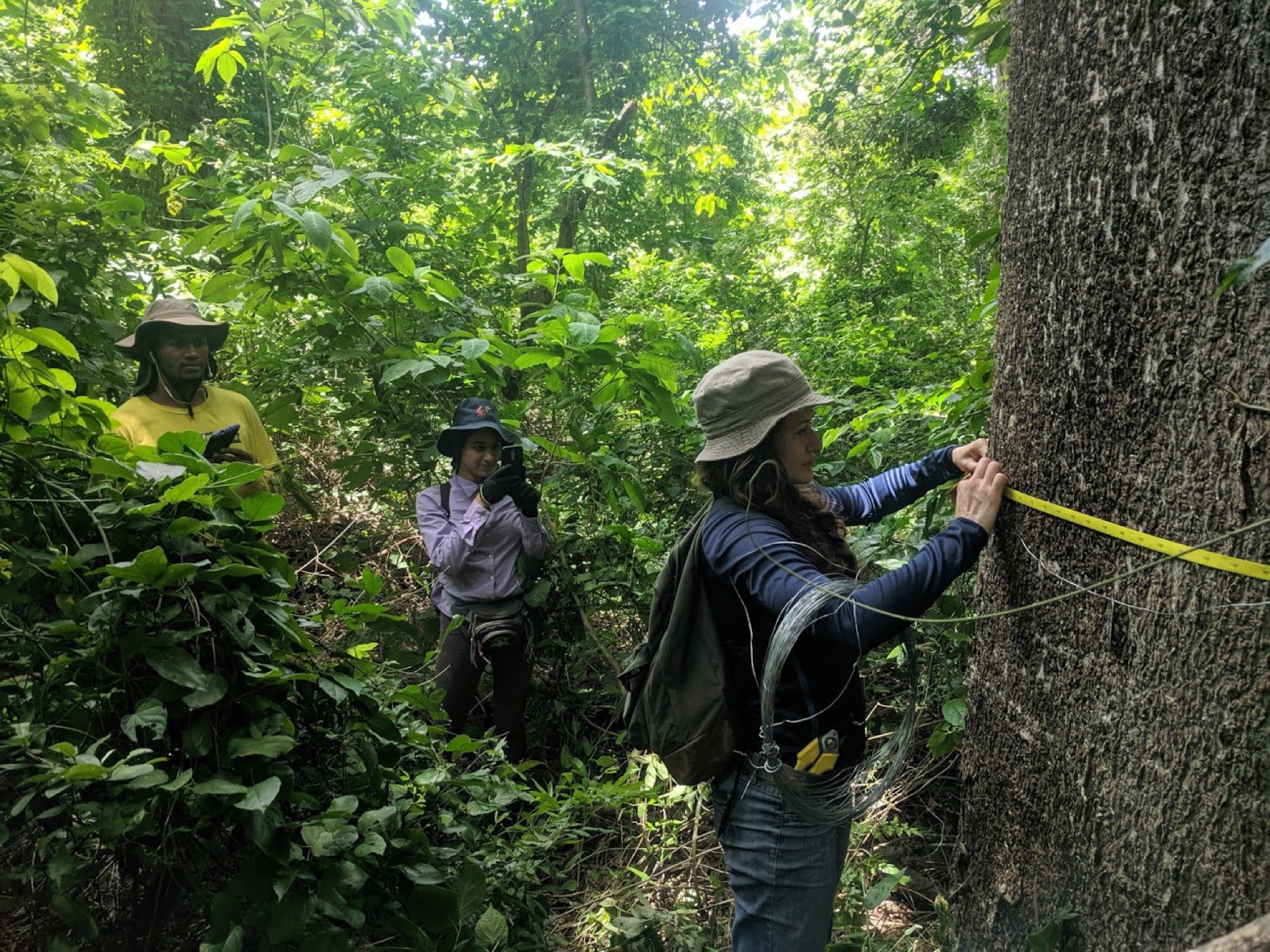
Field team measuring and documenting a large tree
Researchers visiting the plot during the dry season
Wet-season canopy and woody vegetation in the plot
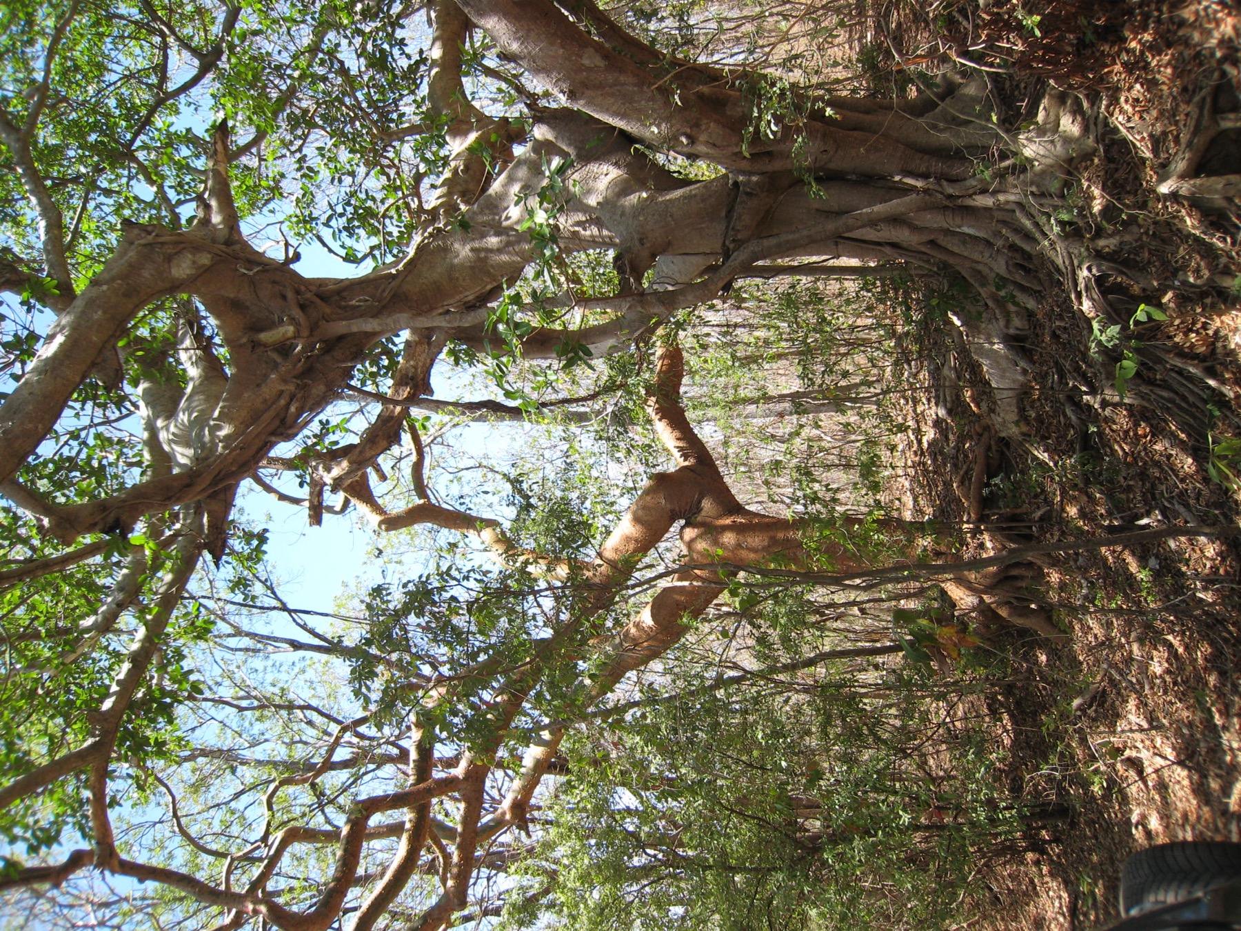
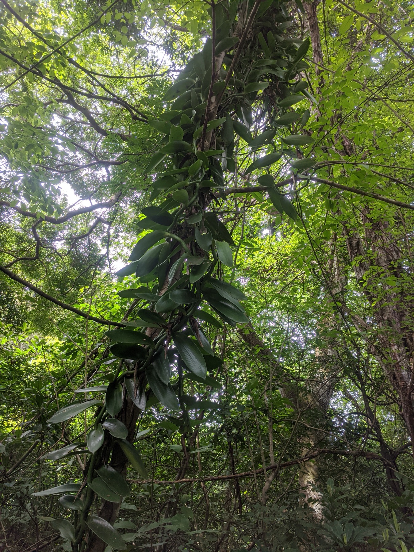
Woody vine and epiphytic growth in the forest canopy
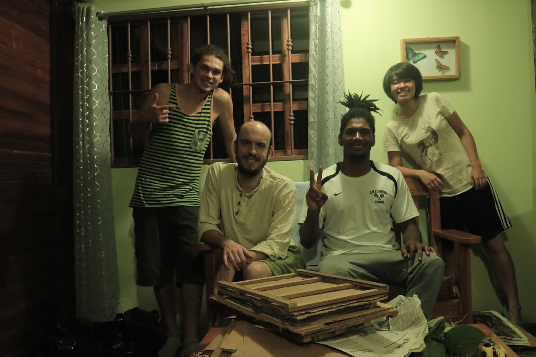
San Emilio field team with archived field materials

Resources

Data sources and contact

Compilation and collection of San Emilio Long Term Forest Dynamics Plot (SEFDP) data are coordinated and provided by PI Brian J. Enquist and Co-PIs Nathan Swenson and Adam Chmurzynski.

The ForestGEO plot profile is publicly available, and the full SEFDP dataset is available by request. We welcome inquiries and ask interested researchers to contact the SEFDP PI team with a short summary of their project and research interests. The team will follow up to coordinate data access. Before the full dataset is shared, data users complete a data use agreement.

Data-use summary

  • Use is limited to the described project and purposes permitted by the signed agreement.
  • Data may not be redistributed beyond the project collaboration team identified in the agreement.
  • Metadata, source information, and license terms must accompany permitted copies.
  • Derived works remain subject to the applicable agreement terms.
  • Publications must acknowledge SEFDP and required institutional and funding support. Collaboration and authorship should be discussed with the SEFDP PI team; authorship is not automatic and depends on active, timely scholarly contributions.

This summary is provided for convenience and does not replace or modify the signed data use agreement.